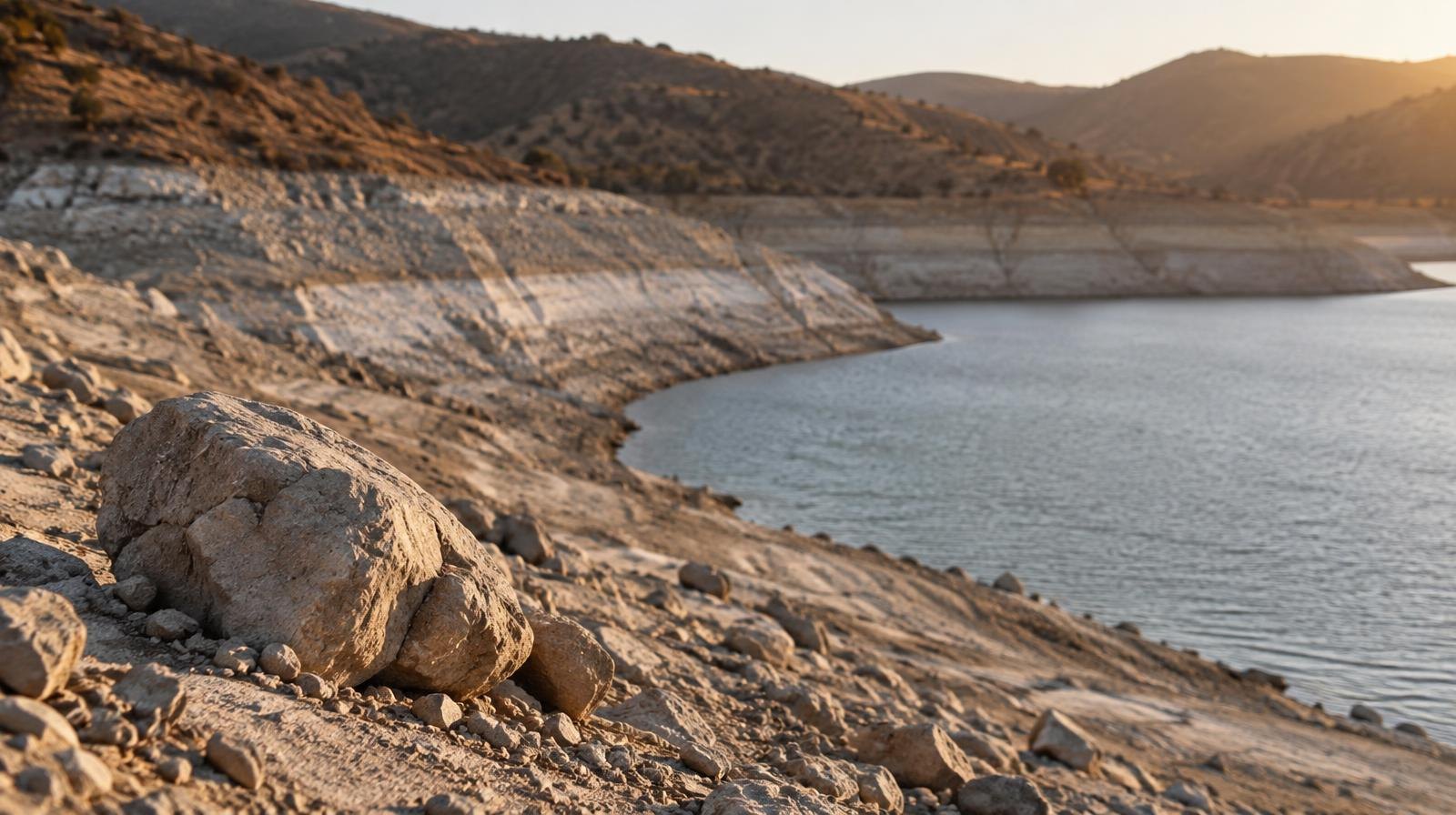
Salt Lake County collected just 86% of normal precipitation during the 2026 water year, its 34th-driest on record as the state faces drought heading into winter.
The water year ended Sept. 30 after 12 months of record-breaking heat that turned snow into rain. The Deseret News first reported that Salt Lake County received 22.11 inches of precipitation, well below its historical average, based on federal climate data released in October.
For Millcreek residents who depend on Wasatch snowmelt for drinking water and recreation in Millcreek Canyon, the shortage has direct consequences. Salt Lake City's water shortage contingency plan, activated earlier this year, covers Millcreek and other parts of eastern Salt Lake County, KSL reported. The plan calls on residents and businesses to voluntarily conserve water, while government facilities must cut irrigation and indoor water use by at least 10%.
Record heat turned snow to rain
Utah's average temperature of 53.8 degrees between Oct. 1, 2025, and Sept. 30, 2026, shattered the previous record by 2.1 degrees, according to the National Centers for Environmental Information. All 29 counties broke their own temperature records over 131 years of tracking.
The heat pushed snow lines to 11,000 feet during many storms, meaning rain fell in areas that normally collect snow, KSL reported. Utah's statewide snowpack peaked at roughly 52% of normal. The Provo-Utah Lake-Jordan basin, which includes the Wasatch Front drainages nearest Millcreek, collected just 10.1 inches of snow-water equivalent, or 50% of its median average.
Jordan Clayton, a hydrologist for the Natural Resources Conservation Service (NRCS) and director of the Utah Snow Survey, called the year "really, truly strange." He told KSL that conditions were well below normal for precipitation during the winter months when the state needed it most.
Snowpack accounts for about 95% of Utah's water supply. Jonathan Meyer, assistant state climatologist at the Utah Climate Center at Utah State University, explained earlier this year that Utah's water system is "built for delayed release" from snowpack. Rain runs off too fast for the soil to absorb, while snowmelt feeds reservoirs gradually through spring and summer.
Reservoirs fell short
Utah's reservoirs peaked at 71% of capacity in May, four percentage points and a month earlier than normal, according to state water data cited by the Deseret News. Sources disagree on where reservoirs stood at the end of the water year: the Deseret News and KSL reported 47% to 48% capacity, while ABC4 reported 45%. All figures fall well below the normal 56%.
Severe shortages hit specific basins. ABC4 reported the Upper Sevier sat at 5% of capacity, San Pitch at 6% and Beaver at 7%.
The dry conditions also fueled an early wildfire season. Three of the six largest fires in Utah history burned during 2026, according to ABC4.
What comes next
The remnants of Tropical Storm Rachel delivered a boost in mid-October, pushing mountain soil moisture to record-high levels. Little Cottonwood Canyon received 9.2 inches of precipitation in the first 15 days of the new water year, KSL reported.
That helps. It is not enough.
Lindsay Johnson, a climatologist for the National Drought Mitigation Center, noted in a U.S. Drought Monitor report that all of Utah remains in at least moderate drought. Over 70% of the state is still in severe or extreme drought.
Clayton said the upcoming winter will determine whether drought conditions ease. "We don't want to hang our hat on having an above-normal winter just yet, but we're certainly hoping for that," he said, according to the Deseret News.