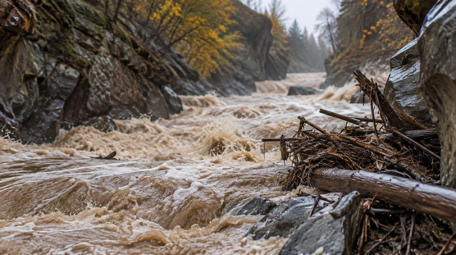
Hikers and trail runners heading into Wasatch Front canyons face a marginal flash flood risk Thursday, Oct. 22, and Friday, Oct. 23, as a slow-moving storm pushes rain across Utah.
Flood watches are in effect across southern and central Utah through Thursday evening, according to the National Weather Service's Salt Lake City office. The NWS warned that 2 to 3 inches of localized rainfall could trigger flash flooding in rivers, creeks, dry washes, slot canyons and recent burn scars.
The NWS Salt Lake City office said there is "a high risk of flash flooding across many southern Utah parks and recreation areas" on Wednesday, Oct. 21, and Thursday. The agency advised travelers in those areas to "strongly consider altering plans to avoid normally dry wash, slot canyons, streams, backcountry roads and low water crossings," the Las Vegas Review-Journal reported.
The threat extends north. ABC4 reported that a marginal risk for flash flooding will reach northern Utah on Thursday ahead of a cold front. Soils across the Wasatch are already saturated after Tropical Storm Rachel soaked the state earlier in October. Utah's statewide mountain soil moisture hit 64.2% in mid-October, 5.1 percentage points above the previous 20-year record for the period, according to the Draper Herald, citing KSL data.
The storm is a cut-off low-pressure system tracking into Utah from the Pacific Northwest through California. It is separate from Tropical Storm Rachel.
KSL meteorologist Matt Johnson said scattered showers are more likely to reach the Wasatch Front by Thursday night as the storm splits over Utah. Wasatch Front communities could collect up to an inch of rain by early Saturday, Oct. 24, with mountain totals near 2 inches, according to KSL weather models.
"We can't hang our hat on this, but it is giving us an indication of what's possible: 1 to 2 inches for a lot of locations," Johnson told KSL.
The NWS forecast for Salt Lake City on Wednesday calls for a high of 71°F with a chance of showers. Thursday's high reaches 73°F with showers likely and continued showers Thursday night. By Friday, temperatures drop to a high of 58°F.
Snow levels are expected to fall from about 11,000 feet on Thursday to 8,000 feet on Friday, Johnson told KSL. Preliminary models estimate 3 to 6 inches of snow above 8,500 feet, including in the Upper Cottonwoods.
The storm should exit by late Saturday. Anyone planning to use Millcreek Canyon or other Wasatch canyons should check the NWS Salt Lake City forecast at weather.gov before heading out and avoid creek beds and low-lying areas while watches remain active.
Zion National Park and Springdale were already under flash flood warnings Wednesday, according to ABC4, a sign of the storm's power as it tracks north.
Upcoming community events:
- Warm Bodies, Warm Souls coat drive continues at the Millcreek Red Hanger location.
- Check Millcreek Common event listings for weekend activities as the storm clears Saturday.