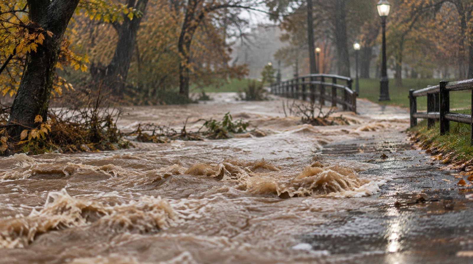
Millcreek residents could face flooding this weekend as the remnants of Tropical Storm Rachel push into Utah, bringing the first tropical-system moisture the state has seen since 1997.
The National Weather Service expects 1.5 to 2 inches of rain across the Salt Lake City area between Saturday, Oct. 10, and Wednesday, Oct. 14, KSL reported. Mountain areas could see 3 inches or more.
NWS meteorologist Hayden Mahan told KUER 90.1 that even urban areas along the Wasatch Front could flood. Millcreek sits squarely in that zone.
Mahan said the heaviest, most widespread precipitation is expected Monday, Oct. 12, as the storm's center of circulation moves in. Scattered showers could arrive as early as Friday, Oct. 9, with storms becoming more widespread by Saturday afternoon, KSL meteorologist Matt Johnson said.
Sunday and Monday carry the strongest flooding potential as Rachel's moisture collides with a separate low-pressure system from the Pacific Northwest. The NWS Salt Lake City posted on X on Wednesday, Oct. 7, warning of a heightened threat of flash flooding across central and southern Utah.
Rachel briefly reached Category 2 hurricane strength and caused flooding in Mexico before weakening to a tropical storm, KSL reported. By the time the system reaches Utah, it will have weakened further to a post-tropical depression, according to the NWS.
The Salt Lake Tribune reported that temperatures will drop about 20 degrees starting Sunday, with highs in the 60s through Wednesday and a 70% chance of precipitation.
Crews prepare statewide
Utah Department of Transportation (UDOT) spokesman John Gleason told KUTV that crews have cleared drains and positioned heavy equipment loaders and plows near recent burn scars, including areas affected by a wildfire near Morgan and the Cottonwood Fire in Beaver.
KUTV 2News Chief Meteorologist Lindsay Storrs said burn-scar areas in southern and central Utah are among her biggest concerns because scorched ground does not absorb water easily, raising the risk of flash floods, mudslides and debris flows.
"This is probably the first time in my 26-year career that I have seen a cone of uncertainty with a tropical system move all the way through the state of Utah," Storrs told KUTV.
She recommended residents bring in Halloween decorations and patio furniture by Friday evening ahead of expected wind increases.
AccuWeather warned that downpours on top of weeks of heavy rain in the region could trigger life-threatening flash flooding along with mudslides and debris flows, the Deseret News reported.
No flood watch yet for Salt Lake County
As of Thursday, Oct. 8, no formal flood watch had been issued for Salt Lake County. Mahan told KSL the NWS was meeting with partner agencies to consider issuing one.
Over 75% of Utah remains in severe or extreme drought, KSL reported. Mahan told KSL the flooding potential is unwelcome, but the moisture could help replenish the state's dry soil.
Residents should monitor NWS forecasts for updated watches and warnings as the storm approaches.