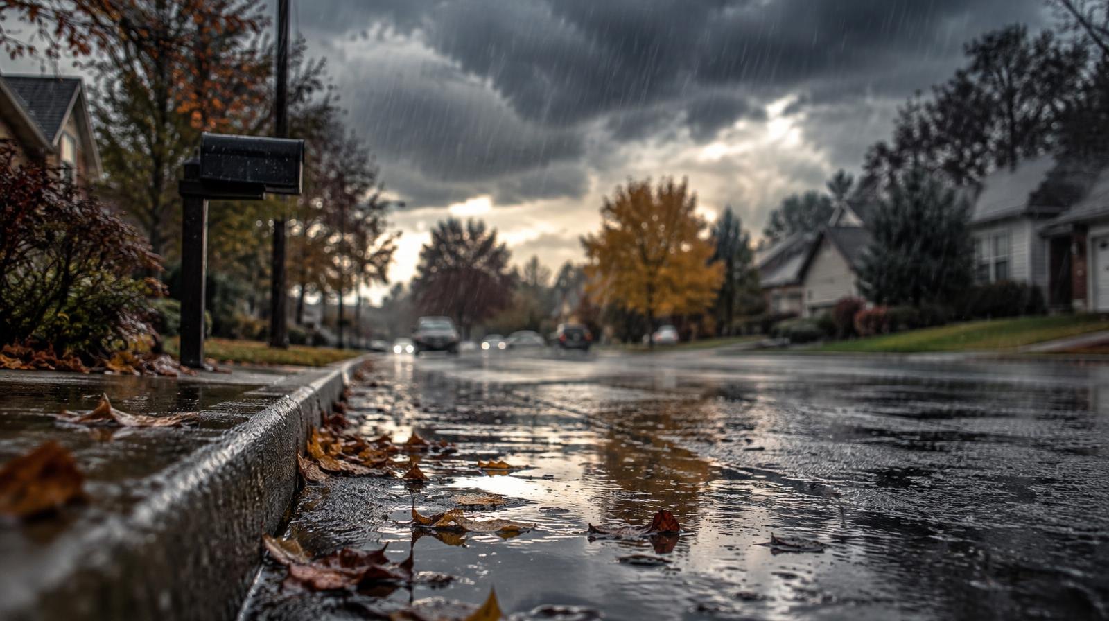
Millcreek residents heading out for Halloween Saturday evening should expect mostly dry conditions, but heavy rain and potential minor urban flooding arrive along the Wasatch Front by Sunday, Nov. 1.
The National Weather Service forecast for the Millcreek area calls for rain likely Friday night with a low of 48°F. Saturday's high should reach 61°F with only a slight chance of rain. The heavier moisture arrives Saturday night into Sunday, when rain is likely and the high drops to 52°F. Monday's high falls further to 49°F.
For trick-or-treaters, a brief break in the rain is expected during Halloween afternoon and evening, ABC4 reported. Temperatures should stay in the upper 50s to low 60s. Rain gear and an umbrella are still a good idea.
Heavier rain arrives Sunday
An atmospheric river and a cold front are forecast to collide over Utah this weekend. The bulk of the moisture is expected Sunday and Monday, especially along the Wasatch Front, the Deseret News reported, citing KSL meteorologist Matt Johnson.
Many valley locations across the state could receive at least half an inch of precipitation, with over an inch possible, especially along the Wasatch Front, in northern Utah and in southern Utah, according to the Deseret News. That rain could lead to minor urban flooding along the Wasatch Front, ABC4 reported.
The National Weather Service's Salt Lake City and Grand Junction, Colorado, offices issued flood watches for most of southern Utah and parts of central and eastern Utah. The watches take effect late Halloween night and last through most of the weekend. In southeastern Utah, they extend through Monday morning.
Both offices expect "moderate to at times heavy precipitation" within the watch areas beginning late Saturday and lasting through most of Sunday, according to the Deseret News.
Mountain snow and dropping temperatures
A cold front sliding through Sunday will lower snow levels. ABC4 reported snow levels starting at around 9,000 to 9,500 feet Sunday morning before dropping to around 7,000 feet by late Sunday. By Monday morning, levels could fall as low as 6,500 feet.
The upper Cottonwood Canyons could see 8 to 16 inches of snow, according to the Deseret News. Monday's Wasatch Front highs are forecast in the low 50s, with some locations staying in the 40s, ABC4 reported.
Saturated ground raises flood stakes
The storm arrives after previous storms over the past two weeks led to severe flooding across parts of southern Utah. Lt. Gov. Deidre Henderson toured flood-damaged communities in San Juan County on Thursday, Oct. 29, KSL reported. Some families there still cannot return home.
Erin Walter, a hydrologist for the National Weather Service Grand Junction office, said her office is mostly concerned about the same Four Corners area that flooded the week of Oct. 19. "Additional rain on those saturated soils in flood-prone areas will be problematic heading into the weekend," Walter said, KSL reported.
ABC4 reported that high pressure is expected to build over the region Tuesday and Wednesday, bringing drier conditions.